Local Surf Spots
C Street
Wave Height: Loading…
Wave Direction: Loading…
Wave Period: Loading…
Sea Surface Temperature: Loading…
Emma Wood
Wave Height: Loading…
Wave Direction: Loading…
Wave Period: Loading…
Sea Surface Temperature: Loading…
Mondos
Wave Height: Loading…
Wave Direction: Loading…
Wave Period: Loading…
Sea Surface Temperature: Loading…
Mussel Shoals
Wave Height: Loading…
Wave Direction: Loading…
Wave Period: Loading…
Sea Surface Temperature: Loading…
New Jetty
Wave Height: Loading…
Wave Direction: Loading…
Wave Period: Loading…
Sea Surface Temperature: Loading…
Oil Piers
Wave Height: Loading…
Wave Direction: Loading…
Wave Period: Loading…
Sea Surface Temperature: Loading…
Pitas Point
Wave Height: Loading…
Wave Direction: Loading…
Wave Period: Loading…
Sea Surface Temperature: Loading…
Rincon Point
Wave Height: Loading…
Wave Direction: Loading…
Wave Period: Loading…
Sea Surface Temperature: Loading…
Solimar Beach
Wave Height: Loading…
Wave Direction: Loading…
Wave Period: Loading…
Sea Surface Temperature: Loading…
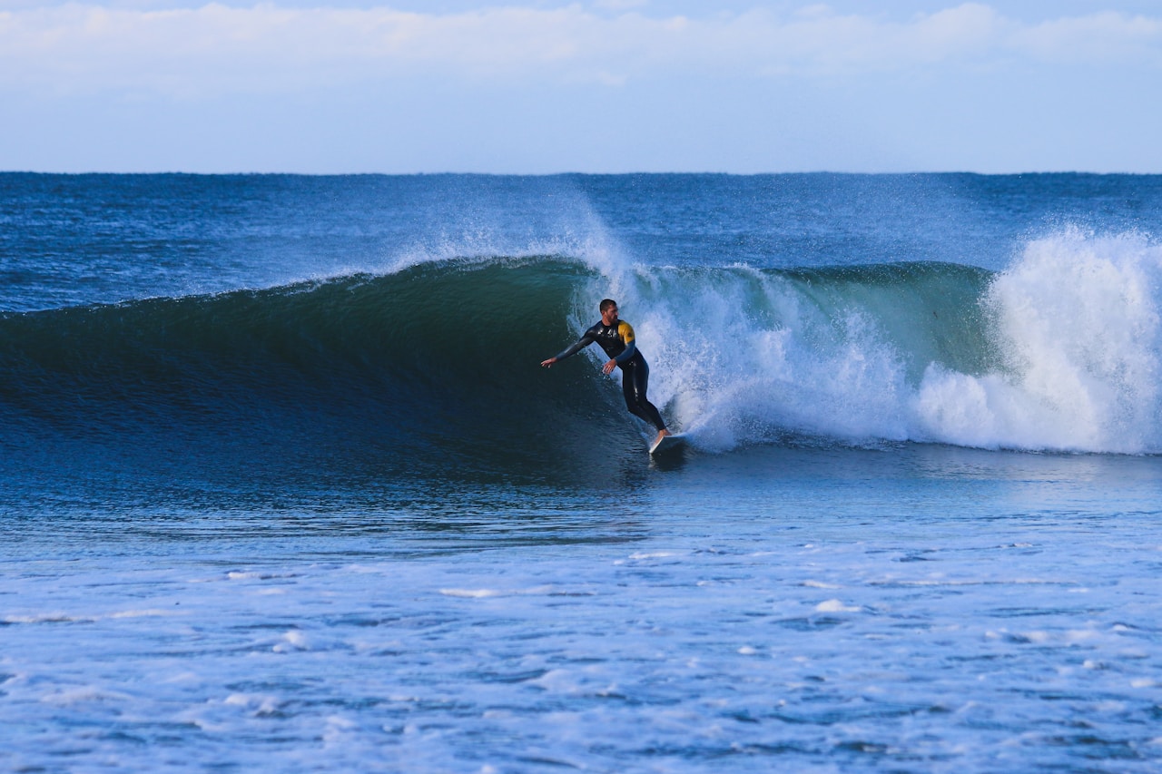
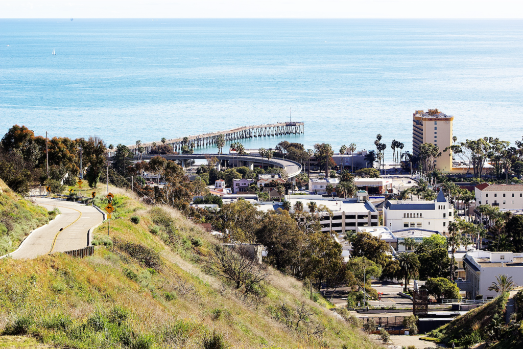
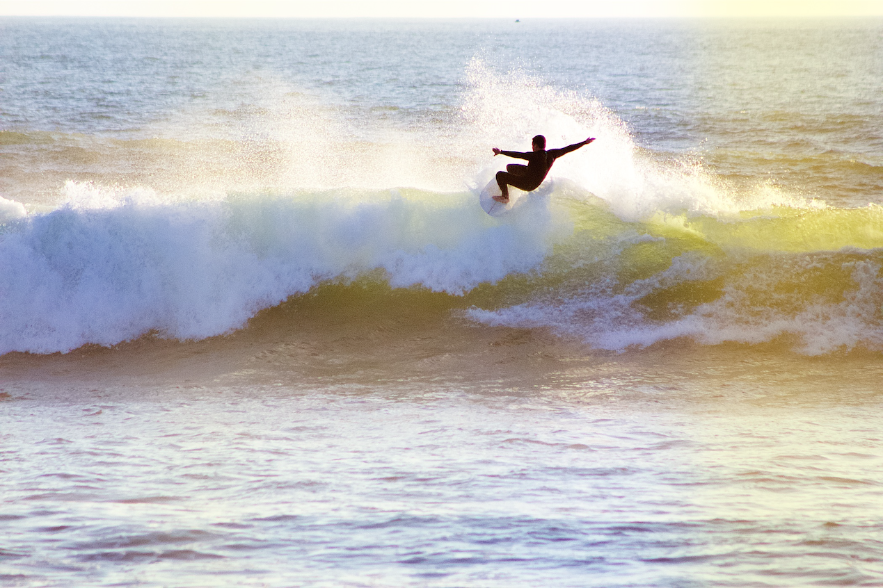
C Street, also known as California Street or Ventura Point, is a renowned surf spot in Ventura County, California. This point break offers long, right-hand waves that are particularly popular among longboarders. The surf spot encompasses several sections, including Pipe, Stables, Fairgrounds, and Outsides, each providing unique wave characteristics. The wave quality at C Street is significantly influenced by the flow of the nearby Ventura River mouth. Whether you’re a beginner looking for a forgiving wave or an experienced surfer seeking a long, enjoyable ride, C Street in Ventura offers a versatile surfing experience.
Why Surfers Love C Street
Consistent conditions: High number of surfable days year-round.
All skill levels: Multiple sections provide waves for both beginners and advanced surfers.
Scenic location: Located near the Ventura Fairgrounds and Pier with beautiful coastal views.
Location
C Street, officially known as California Street, is a prominent thoroughfare in Ventura, California, that extends southward from downtown directly to the coastline. At its southern end, it leads to the popular surf spot known as Surfer’s Point or C Street Beach, situated near the Ventura Pier and adjacent to the Ventura County Fairgrounds.
Coordinates
34.2744463, -119.2976122
View C Street on Google Maps
Parking Options
Harbor Boulevard Parking Structure
Located at the intersection of Harbor Boulevard and California Street, this structure offers 550 spaces with rates of $2 per hour or $10 for all-day parking. It provides easy access to the beach, pier, and nearby businesses.
Free Parking Lots
Ventura offers several free parking options:
Santa Clara Street Parking Structure
Between California and Chestnut Streets, this five-level structure provides free all-day parking on the upper floors and free 4-hour parking on the lower floors.
City Hall Visitor Lot
Located at the end of California Street, offering free all-day parking.
Surfer’s Point Park Lot
Situated at the end of Figueroa Street, this lot charges a nominal fee (historically $2 per day) and provides convenient access to Surfer’s Point.
Additional Considerations
Parking near C Street can become congested during peak surf times and special events. It’s advisable to arrive early to secure a spot. Always observe posted parking regulations to avoid fines, and consider using the ParkMobile app for convenient payment and notifications.
Emma Wood State Beach, located in Ventura County, California, is a cherished destination among surfers for its consistent waves and scenic beauty. The beach offers both left and right breaks, accommodating various surfing styles and skill levels. On larger swells, the offshore reef known as “Ventura Overhead” becomes active, providing challenging waves for seasoned surfers.
Why Surfers Love Emma Wood
Consistent surf: Known for reliable waves, ideal for regular sessions.
Variety of rides: Offers both left and right-hand waves for diverse experiences.
Advanced challenge: During big swells, the “Ventura Overhead” reef produces powerful waves suited for experienced surfers.
Location
Emma Wood State Beach is located in Ventura, California, approximately two miles west of downtown Ventura. The main entrance to the family campsites is accessible via the State Beaches off-ramp from Highway 101. Additionally, the Ventura River Group Camp’s entrance is situated at the west end of Main Street in Ventura.
Coordinates
34.28528, -119.32556
View Emma Wood Beach on Google Maps
Mondos Beach, located along the Pacific Coast Highway between Ventura and Carpinteria, California, is renowned for its gentle, rolling waves, making it an ideal spot for beginner surfers and longboard enthusiasts. The soft, slow-breaking waves provide a forgiving environment for those learning to surf, while also offering enjoyable rides for more experienced surfers seeking a relaxed session. The welcoming atmosphere and consistent conditions have made Mondos a beloved destination within the surfing community.
Why Surfers Love Mondos
Beginner-Friendly: The gentle waves provide an excellent learning environment for newcomers to the sport.
Longboarding Haven: The slow, rolling waves are perfect for longboarders seeking extended rides.
Consistent Conditions: Mondos picks up most swell directions, offering rideable waves during most swell events.
Welcoming Community: The spot is known for its friendly and supportive surfing crowd.
Location
Mondos Beach is situated in a gap between residential homes, with the nearest address being 3674 Pacific Coast Highway, Ventura, CA 93001. Access to Mondos Beach is directly off the highway, with parking available along the ocean side of the road.
Coordinates
34.320498, -119.377033
View Mondos Beach on Google Maps
Mussel Shoals Beach, also known as Little Rincon, is a notable surf spot located along the northern Ventura County coast in California. Situated just south of Carpinteria, this beach offers surfers a right-hand point break with fast, hollow sections that can provide rides up to 150 meters over a boulder-covered bottom.
Why Surfers Love Mussel Shoals Beach
Rincon-like waves: Offers high-quality right-handers similar to Rincon Point.
Less crowded: Avoids the heavy crowds typical of more popular spots.
Challenging rides: Provides thrilling waves with potential for barrels.
Easy access: Located right off Pacific Coast Highway for quick surf checks.
Scenic setting: Features views of Rincon Island, enhancing the surf experience.
Location
Mussel Shoals lies along U.S. Route 101, southeast of La Conchita and northwest of Faria. The community is accessible via an entrance on the southbound lanes of Highway 101, approximately three miles from the Santa Barbara County line.
Coordinates
34.3575417,-119.4444618
View Mussel Shoals Beach on Google Maps
New Jetty, a.k.a. Ventura Harbor, has long been a hotspot for surfing talent. When waves are on, you will see some of the best surfers from the area trading barrels and turns on overhead wedges. Broken up by jetties, the preferred section is below the jetty on the southside of the harbor mouth. The crowd can be less-than-inviting, so show respect or elect to go early.
To get here, turn onto Spinnaker Dr. to the end, just in front of the Channel Islands National Park headquarters. Park in the last lot and go out to the south of the lifeguard tower.
Why Surfers Love New Jetty
Hollow, fast waves great for shortboarding and aerial maneuvers
Works well on winter swells, especially west/northwest
Compact takeoff zones lead to high-energy sessions
Close to town and easy parking near Ventura Harbor Village
Location
To reach New Jetty, drive to the end of Spinnaker Drive near the Channel Islands National Park headquarters, park in the last lot, and walk to the beach south of the lifeguard tower.
Coordinates
34.2404, -119.2658
View New Jetty on Google Maps
Oil Piers Beach used to be a local favorite for consistent, fun waves created by the presence of several wooden oil piers that extended into the ocean. Those piers acted like artificial reefs, grooming the swell into peaky, rideable waves. Since the removal of the piers in the late 1990s, the wave quality has become more dependent on sandbars and swell conditions—but it can still produce quality rights and lefts, especially on a medium-to-large west or northwest swell.
Why Surfers love Oil Piers Beach
Consistent waves: Offers reliable surf, especially during west and northwest swells.
Lefts and rights: Produces both left- and right-breaking waves for variety.
Reform-friendly: Waves often reform inside, making it fun for multiple takeoff zones.
Less crowded: Tends to be less crowded than nearby spots like Rincon or C Street.
Mellow vibe: Known for its laid-back atmosphere and local crowd.
Good for all levels: Offers user-friendly waves suitable for beginners on small days and more challenging waves during bigger swells.
Easy access: Conveniently located right off Highway 101 with visible surf from the road.
Historical roots: Named after the old oil piers that once stood here, the spot carries nostalgic local surf culture.
Location
Oil Piers Beach is located along the Pacific Coast Highway between Mussel Shoals and Hobson Beach Park in Ventura County.
Coordinates
34.35083, -119.42512
View Oil Piers Beach on Google Maps
Pitas Point, situated along the scenic coastline of Ventura County, is a revered surf spot known for its quality right-hand point break. The wave peels over a boulder and sand bottom, offering rides that can extend up to 150 meters. The point features multiple sections, each varying in difficulty and quality, catering to surfers of different skill levels.
Why Surfers Love Pitas Point
Challenging Waves: The inside section, especially during solid winter swells and low tides, presents ledgy right walls and sand-sucking caverns, offering thrilling rides with potential for five to six-second tubes.
Variety of Sections: With distinctive breaks along the point, surfers can choose between more powerful sections for shortboards and mellower inside sections great for longboards.
Consistent Surf: Pitas Point is known for consistent conditions, especially in winter when west and northwest swells hit the coast.
Lengthy Rides: On good days, the wave can serve up long rides, perfect for multiple turns and maneuvers.
Scenic Beauty: Set against a beautiful coastal backdrop, the location adds a serene vibe to every surf session.
Location
Pitas Point is located along the Pacific Coast Highway in Ventura County, California, just north of Faria Beach and south of Solimar. This scenic point sits right on the coastline and is easily accessible from Highway 101.
Coordinates
34.319416, -119.388529
View Pitas Point on Google Maps
Rincon Point, affectionately known as the “Queen of the Coast,” is a world-renowned surf spot located at the border of Ventura and Santa Barbara counties in Southern California. This iconic right-hand point break delivers some of the longest and cleanest rides on the West Coast and holds legendary status in the surfing world.
Why Surfers Love Rincon Point
Consistent, high-quality waves – Perfectly shaped right-handers make Rincon ideal for both stylish carving and high-performance surfing.
Multiple sections – The spot is divided into three distinct take-off zones: The Indicator, The Rivermouth, and The Cove, each with its own unique character and wave type.
Long rides – On a good day, you can ride from the top all the way to the bottom, easily clocking rides of 200–300 yards.
Scenic setting – Nestled along the coast with mountain backdrops and golden cliffs, it’s one of the most beautiful surf settings in the state.
Surf culture hotspot – Rincon is soaked in surf history and has been featured in countless films, competitions, and legends of the sport.
Location
Rincon Point is just off Highway 101 at Bates Road, approximately three miles south of Carpinteria. Rincon Creek marks the dividing line between Ventura and Santa Barbara counties, and the surf spot stretches along the point just west of the creek.
Coordinates
34.3730296,-119.4786089
View Rincon Point on Google Maps
Where to Park
Rincon Point Parking Lot – Located off Bates Road on the left as you head toward the ocean. This lot provides close access to the trail leading directly to the beach and point break.
Rincon Beach Park County Lot – Found on the right side of Bates Road. From here, there’s a short pedestrian underpass beneath the 101 freeway that leads to the beach.
Extra Tips
Gets crowded – Rincon is famous, so expect a competitive lineup when it’s firing. Know the rules, stay respectful, and take your turn.
Facilities – Restrooms and picnic areas are available near the beach park.
Water quality – After heavy rains, runoff from Rincon Creek can temporarily impact water quality. Surf with awareness.
Rincon is a must-surf for any serious surfer visiting Ventura County—timeless, powerful, and undeniably California.
Solimar Beach is located approximately four miles northwest of downtown Ventura along Pacific Coast Highway (Highway 1). This scenic and versatile surf spot offers a mix of reef, point, and beach breaks that cater to a wide range of surfers, from intermediate to advanced.
Why Surfers Love Solimar Beach
Diverse Surf Breaks
Solimar Reef: A fast, ledgy peak that breaks about 300 yards offshore during large winter swells—great for experienced surfers chasing power and speed.
Solimar Point: A mellow left-hand wave over sand and cobblestone, works well during south swells and medium to high tide.
Solimar Beachbreak: Offers smaller, punchy waves from windswell—perfect for more casual or intermediate sessions.
Consistent Swell: Accepts both west and south swells, giving it great year-round potential.
Less Crowded: Compared to more central Ventura spots, Solimar offers a quieter, more relaxed lineup with plenty of open space to paddle out.
Beautiful Scenery: Nestled along the coastline with ocean views and mountain backdrops, it’s one of the most scenic surf locations in the county.
Location Info:
Solimar Beach sits directly off Highway 1, just south of the gated Solimar Beach Colony. The public beach is easily found along this stretch, with beach access points dotting the roadside.
Coordinates
34.3087671,-119.3648082
View Solimar Beach on Google Maps
Where to Park
Free Parking: Available along the shoulder of Pacific Coast Highway. It’s first-come, first-serve, so arrive early, especially on weekends and during a swell.
Access Notes: After parking, you may need to cross the highway and walk down a rocky path to get to the sand. Use caution, especially with gear.
No Facilities: There are no restrooms, showers, or lifeguards—so plan ahead and pack out whatever you bring in
